Paper Charts
We have successfully completed the below mentioned charts covering most of the sea area around Sri Lanka, including some of the internal waters, and are in position with all the metadata relevant from those charts. Interested parties who wish to obtain them can do so on a chargeable basis and are welcome to contact Sri Lanka Navy Hydrographic Service for further purchasing action.
Chart
Discription
Chart No
Metadata Catalog
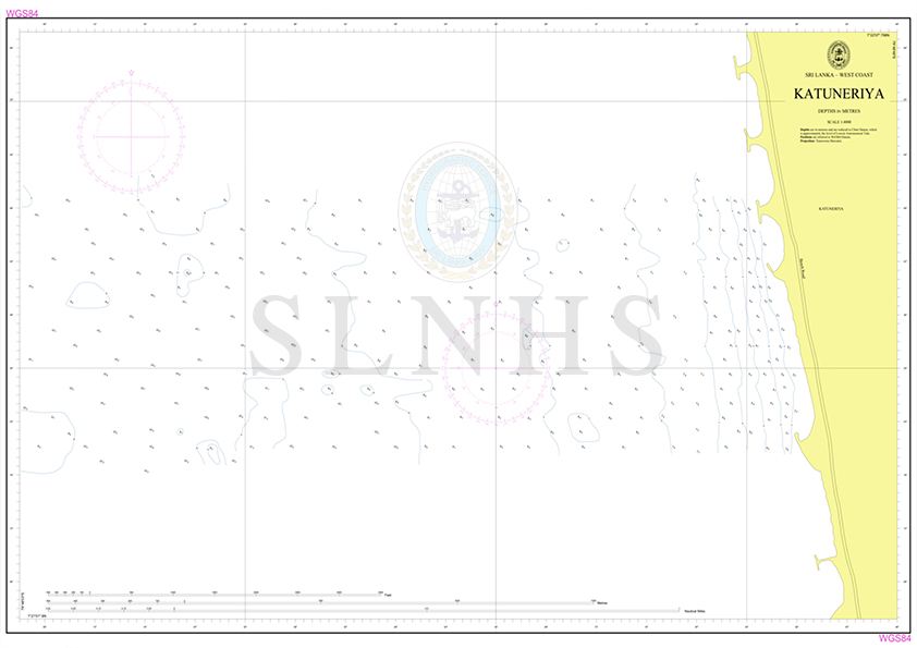
Katuneriya Chart
FS001

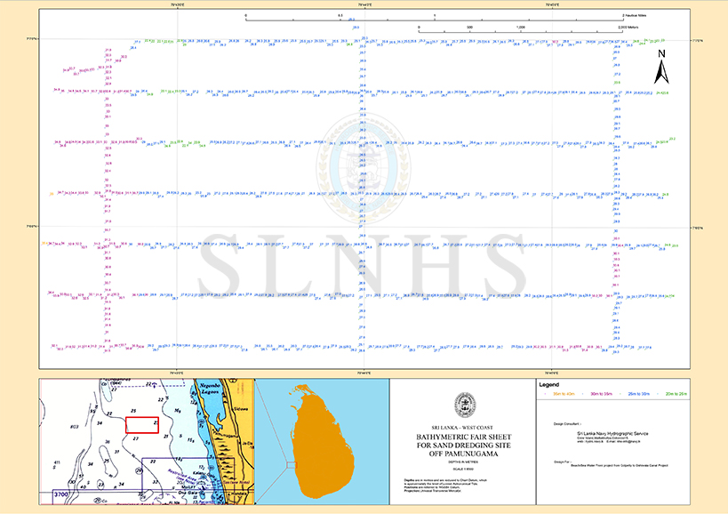
Bathymetric Fair Sheet for Sand Dredging Site Off Pamunugama
FS003
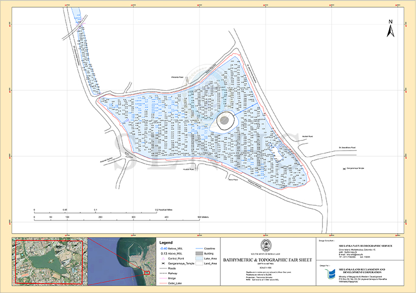
Bathymetric & Topographic Fair Sheet of Beira Lake 2019
FS007
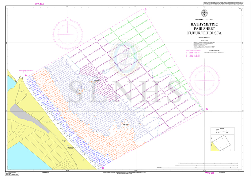
Bathymetric Fair Sheet of Kuburupiddi Sea
FS008

Kayakkuli Sea Area
FS010
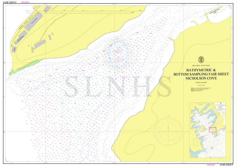
Bathymetric & Bottom Sampling Fair Sheet of Nicholson Cove
FS011
Bathymetric Fair Sheet of Unawatuna Bay
FS012
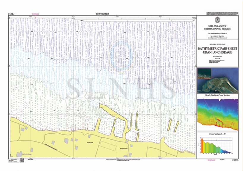
Bathymetric Fair Sheet of Urani Anchorage
FS013
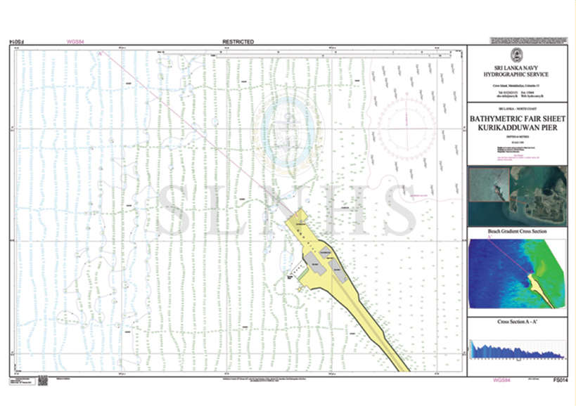
Bathymetric Fair Sheet of Kurikadduwan Pier
FS014
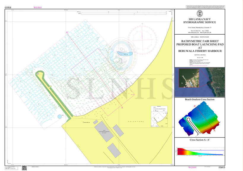
Bathymetric Fair Sheet Proposed Boat Launching Pad at Beruwala Fishery Harbour
FS015
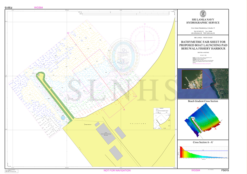
Bathymetric Fair Sheet Proposed Boat Launching Pad at Beruwala Fishery Harbour Edition 2
FS015/2
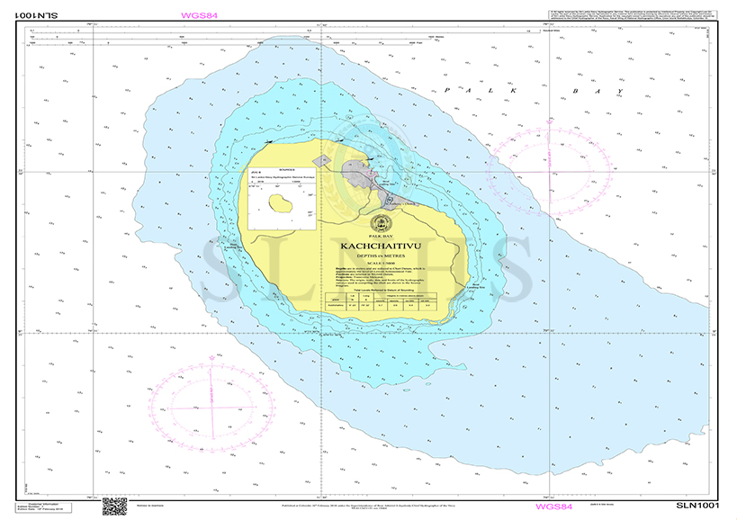
Kachchaithive Island
SLN1001
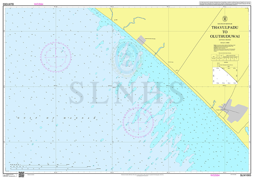
Thavulpadu to Oluthuduwai
SLN1003

Sampoor Beach
SLN1004
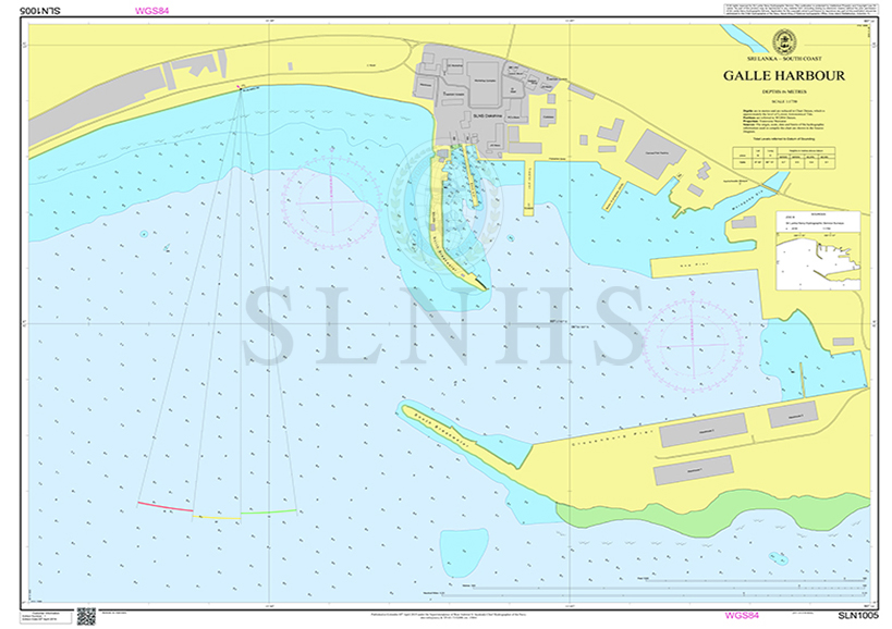
Galle Harbour
SLN1005
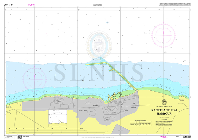
Kankesanturai Harbour
SLN1007
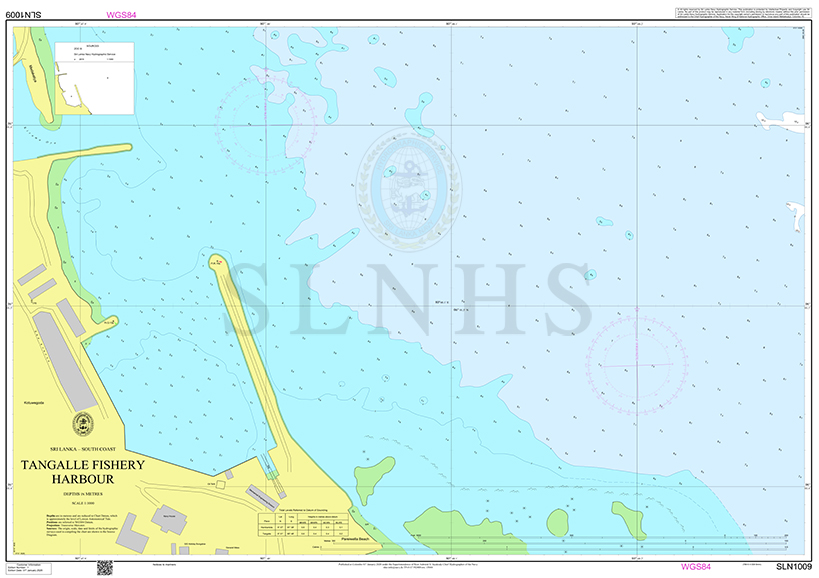
Tangalle Fishery Harbour
SLN1009
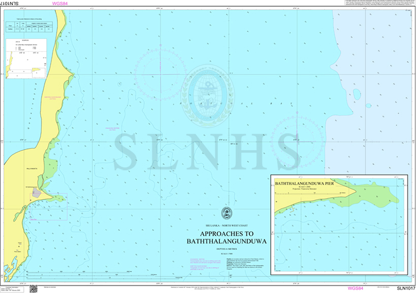
Approaches to Baththalangunduwa
SLN1017

South Colombo
SLN1018

Oluthuduwai Beach Gardient Survey
SLN1019

SLN1020 - Galle Face
SLN1020
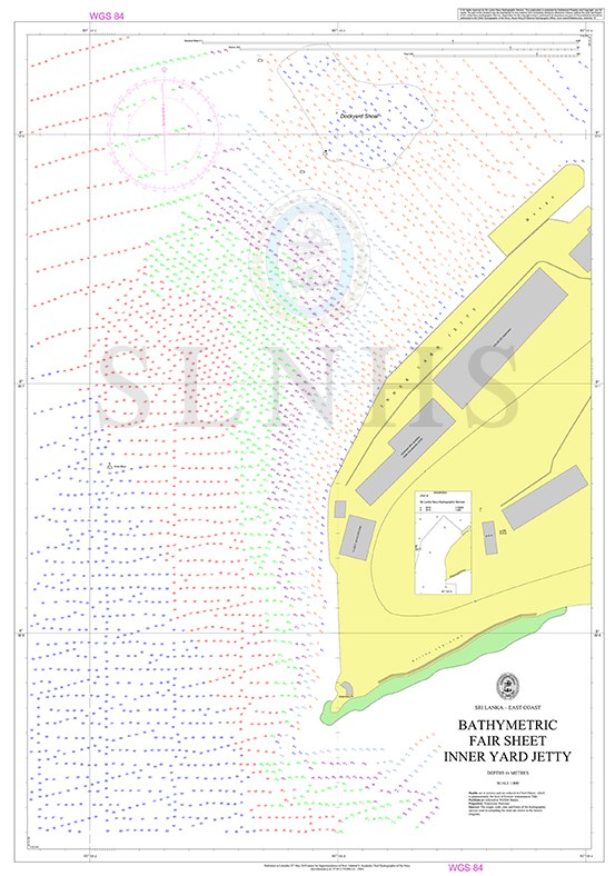
Bathymetric Fair Sheet Inner Yard Jetty
FS002
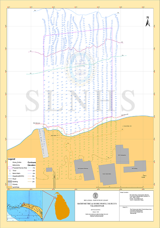
Bathymetric & Shore Profile Surveys Talaimannar
FS004
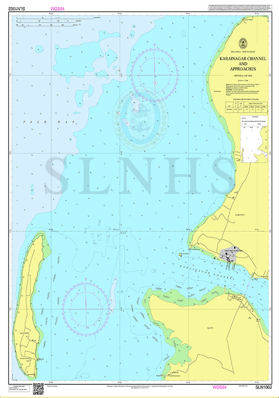
Karainagar Channel & Approaches
SLN1002
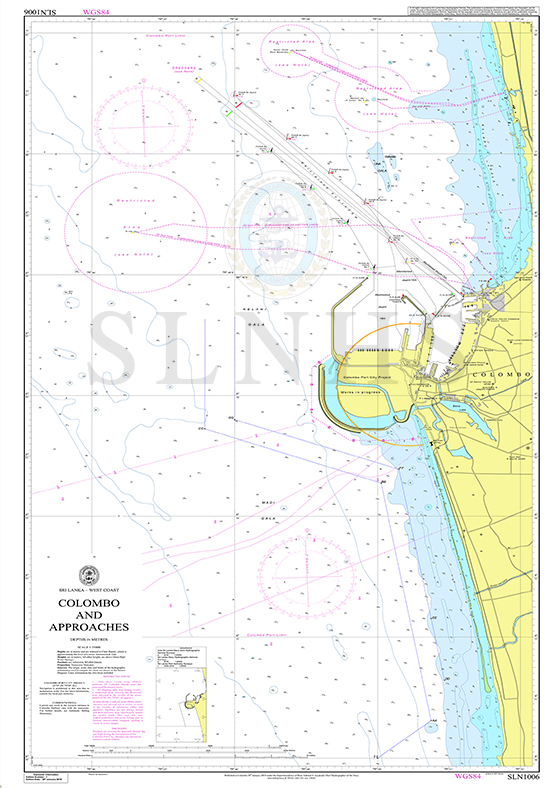
Independant Sailpass
SLN1006